

| << Chapter < Page | Chapter >> Page > |
Symbols and Plans
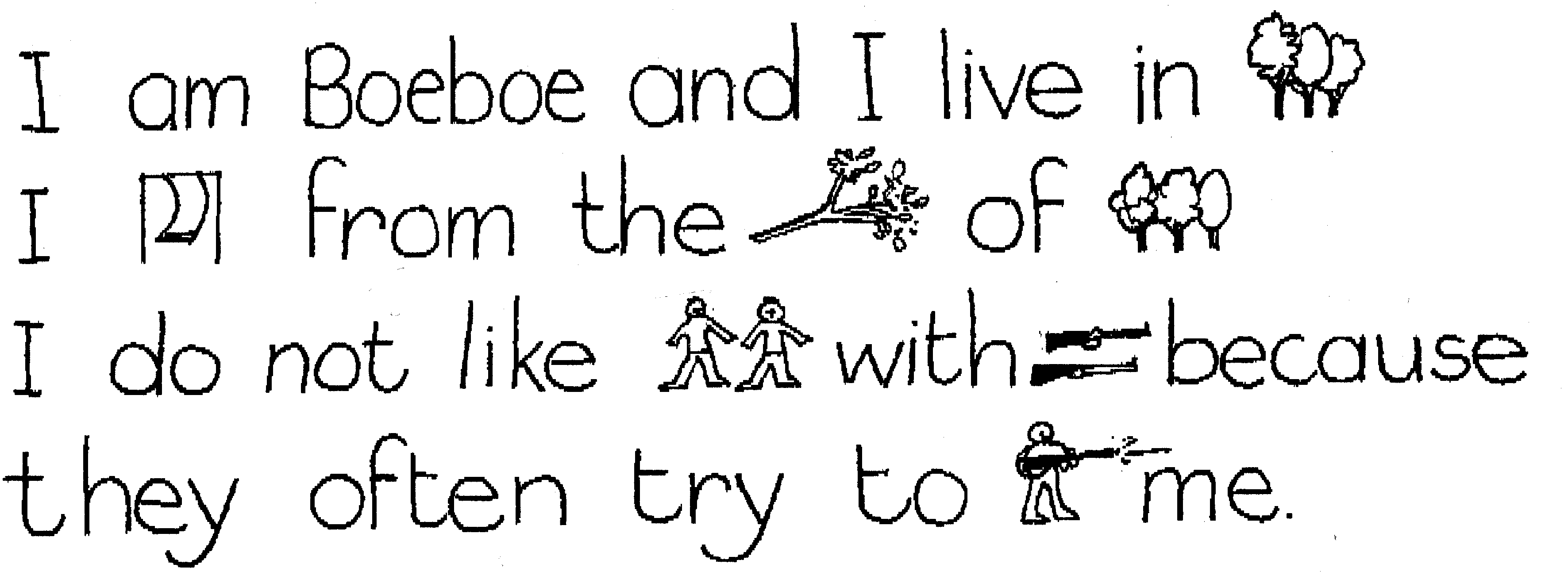
Pictures are used instead of words and they tell you something. Now write your own story in which you use picture symbols and words to show that you like playing with your pet.
…………………………………………………………………………………………………
…………………………………………………………………………………………………
…………………………………………………………………………………………………
…………………………………………………………………………………………………
…………………………………………………………………………………………………
…………………………………………………………………………………………………
…………………………………………………………………………………………………
…………………………………………………………………………………………………


Draw the following views from above:
| a Tree | a Pencil |
The learner will be able to use enquiry skills to investigate geographical and
environmental concepts and processes.
We know this when the learner:
1.3 identifies symbols used in different kinds of maps (including plan view, grids and map keys) [works with sources].
2. Sun
Notification Switch
Would you like to follow the 'Geography grade 4' conversation and receive update notifications?

|
|

|
|

|
|

|
|

|
|

|
|

|
|

|
|

|
|

|